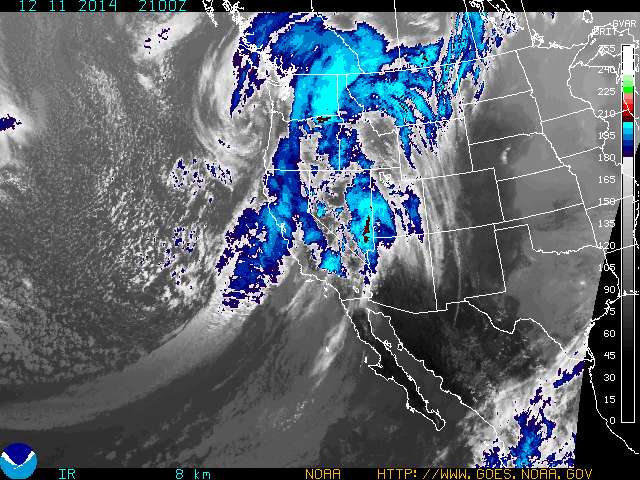
The stretch of calm weather will end as a strong West Coast high pressure system starts to break down, allowing a flow of moist air from the west to reach the Colorado mountains. The same high pressure ridge has been keeping California dry all winter, but the upcoming change in the pattern should bring some much-needed snow to the Sierra Nevada.
The westerly flow won't be nearly as cold as some of the storms that have hit Colorado from the north. Temperatures during the second half of this week and first part of the weekend should see highs in the 20s and overnight lows in the teens. That also means the snow won't be quite as dry as it was in early January, but we're still talking about high quality Colorado powder.
Here are some specifics, pieced together from a variety of weather sources:
- Snowfall Monday afternoon into Tuesday morning could bring about three inches of snow initially.
- Tuesday will be mostly dry.
- From Wednesday through Saturday, the moist west-northwest flow could bring about two to four inches of snow during each 12-hour period, which should mean double-digit snowfall totals for many Colorado ski areas.
For the second half of the weekend and into early next week, the outlook isn't very clear, but the overall pattern suggests continued unsettled, with on and off chances of snow. In short, weekend warriors should have a great time Saturday and Sunday, but give yourself some extra time to account for winter traveling conditions on the highways and byways.
Follow our daily updates on Twitter and join our Facebook community to keep in touch with other Copper Colorado Condos fans!
Filed in Copper Mountain News | Skiing/Snowboarding | Weather |